|


|
Hampton Roads Jewish History
|
SEE ALSO: • "Every Square Inch of Norfolk" Books • Norfolk Deeds, Billheads, Links & More | |||
|
OVERVIEW | Norfolk Jewish History | Norfolk's First Jew | Genealogies of First Jews | Norfolk's Lithuanian Jews | Berkley Jewish History | Portsmouth Jewish History
Home • Jewish History Books • Other Books • About • Ordering • Research for Hire • Contact | ||||
|
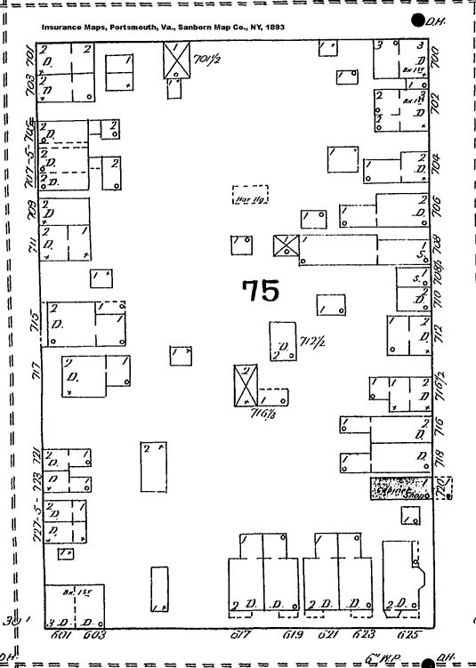
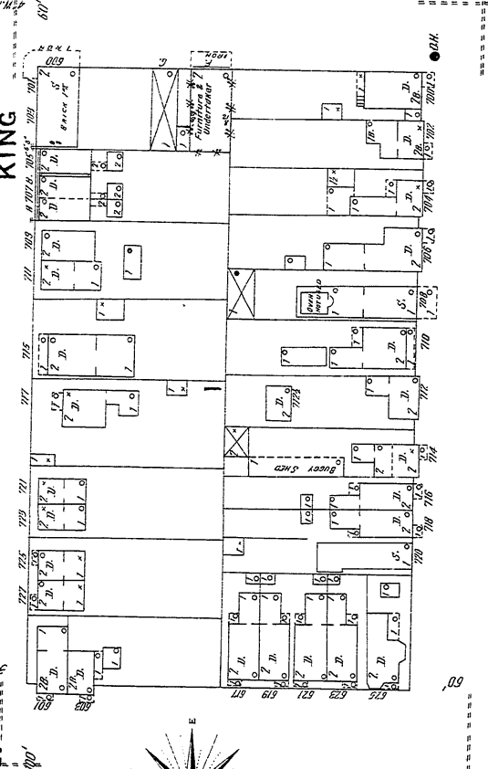
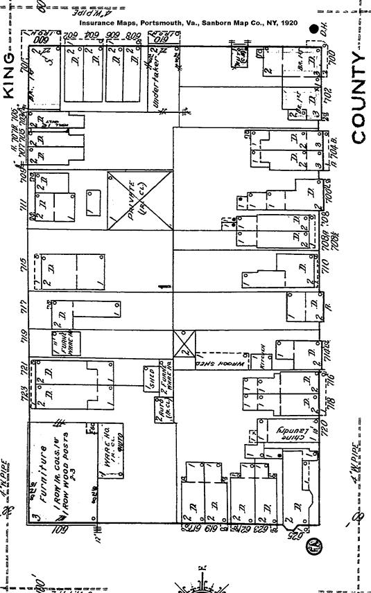
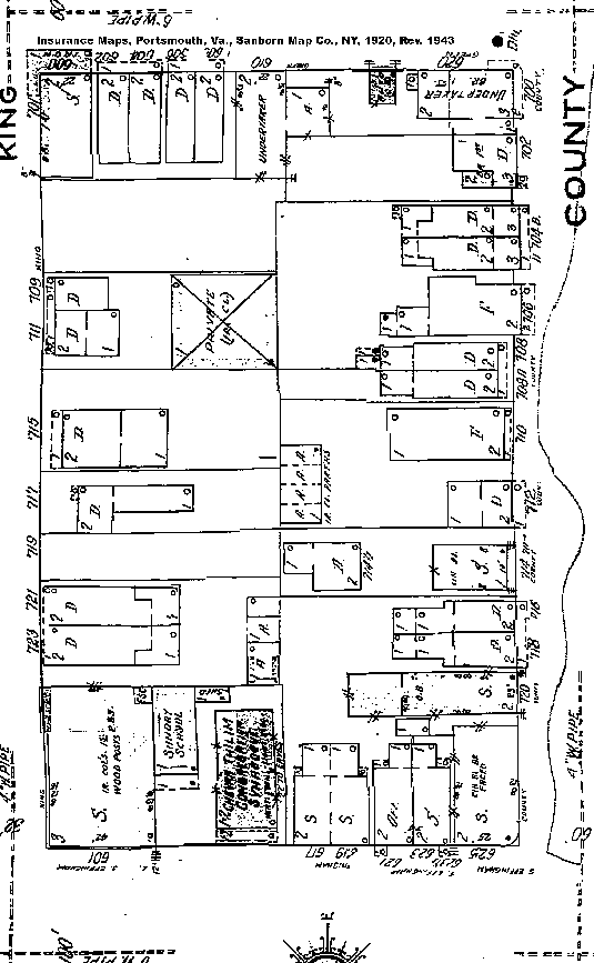
NORFOLK, VIRGINIA: A JEWISH HISTORY IS NOW AVAILABLE! CLICK HERE FOR DETAILS. Sanborn Insurance Maps, 1893-1943 JewishHistoryUSA is pleased to announce its publication of Norfolk, Virginia: A Jewish History of the 20th Century, a 249-page history of Jewish community of Norfolk, Virginia, focusing especially on the first half of the 20th century. Written by the historian/author Irwin M. Berent, this is the only comprehensive history of Jewish Norfolk. It is filled with detailed text (see Table of Contents), numerous photos (see Index of Photographs), and an index of more than 2000 names (see Index of Proper Names). |
Home | Books | About | Ordering | Research for Hire | Contact
Copyright © 2008-2013 Norfolk History Publishers / Writers SuperCenter LLC